
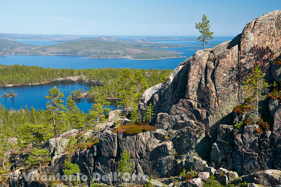
 That is Höga Kusten. It’s called "high" for the coastal cliffs and the reliefs on the many islands and along the mainland which go up to 280 mt. (which, in Sweden, is a relief... of a certain relief).
The area spans for almost 100 km, and belongs to Unesco Heritage because, besides the beautiful landscape and nature, it is the stretch of earth's crust which boasts the greatest land uplift in the world - almost 1 cm a year - caused by the elastic bounce following the melting of the 3 km thick ice layer resting on it 10.000 years ago. In short, the current 270 amsl contour line is where the shore was then. I start the mini-exhibition on my recent pictures in Höga Kusten with an ultra-classic postcard-like view taken from the Skuleskogen National Park, and in particular from the summit of the huge rift Slåttdalsskrevan (30 mt. deep, 200 long), the most famous place in the park. The rift itself, whose above end is partially visible, was sadly impracticable due to the snow still filling it. Comments are closed.
|
All site contents are: © Vitantonio Dell'Orto, all rights reserved worldwide. The Chronicles of Särna, and other stories from the North.
I live in Sweden, in Särna (Dalarna). The Chronicles are a photo diary about the nature (but not just) here around and from all the Scandinavian areas where my photo job takes me.
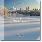
My book: "My Sweden - Tales from an Italian photographer in the North" is available in the bookstores and by the publisher.
Archives
October 2018
Categories
All
|
 RSS Feed
